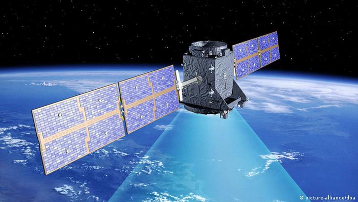
The European Union's promise to enhance localization services was became reality on Thursday, with the successful launch of four more satellites of the bloc's prestige Galileo project.
Initial services, free to users worldwide, will be available only on smartphones and navigation units already fitted with Galileo-compatible microchips. The new system is designed to deliver more precise data for private and commercial users than the current US Global Positioning System (GPS) does.
"Galileo will increase geo-localization precision tenfold," European Commission vice-president Maros Sefcovic said ahead of Thursday's launch.
An Ariane 5 ES rocket took off on Thursday morning at 10:06 am local time in Kourou, French Guyana, and carried four satellites, each weighing 738 kilograms, into orbit. That was at 13:06 GMT and, at the European Space Agency's mission control (ESOC) in Darmstadt, 14:06 CET. Within less than five hours the satellites were scheduled to be delivered into their respective orbits. ESA says the first pair was released 3 hours 35 minutes and 44 seconds after liftoff, while the second pair eparated 20 minutes later.
Two records for Ariane
The launch not only marked an important step for the construction of the Galileo system, but also for the rocket itself. Ariane 5 is ESA's workhorse. Never before has an Ariane 5 rocket delivered so many - and such heavy - satellites at once. As this is the 75th launch of an Ariane 5, this rocket type now surpasses the number of launches of its predecessor, Ariane 4. What is more, all of the Ariane 5's launches have been flawless.
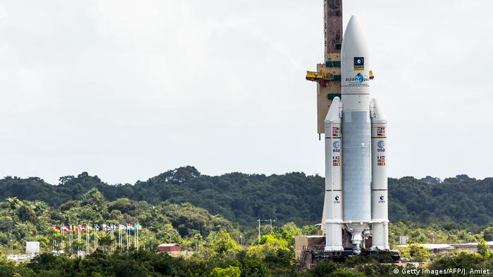
For the first time an Ariane 5 rocket carried four navigation satellites into orbit
High precision for private and commercial users
Galileo is one of the prestige projects of the European Union. In contrast to the US GPS system, which is 20 years older, Galileo is civilian-controlled. Therefore, Galileo offers its private and commercial users the whole spectrum of precision navigation that is technically possible.
Using GPS, private users can navigate with a precision of up to 15 meters (m). Galileo offers a precision of up to 4m for its fully open service. Commercial users and official government services can even receive a precision of a few centimeters. This is important, for example, for fully or partially automated planes, cars or ships. By 2018 Galileo should be fully operational, with at least 24 satellites in place. That is the threshold the system must reach before it can deliver a complete service.
The high precision offered by Galileo was one of the reasons why the Pentagon rejected the system in the first place. There were fears that adversaries of NATO or of other allies could use it for military purposes. However, engineers have found a solution to that problem: should a serious crisis arise, the military can jam a certain part of the broadcasting spectrum. This would cut off civilian use, but still retain the functions that are reserved for allied military purposes.
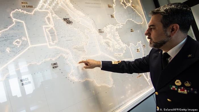
In the future search and rescue coordinators will be able to send messages back to SOS beacons
Galileo can do much more than simply provide signals for navigation. In combination with the search-and-rescue satellites of the COSPS-SARSAT system, it will be able to better locate ships or mountain climbers in distress. It is also possible for people at the search-and-rescue control centers to respond to people who send distress signals from their SOS beacons.
Not just a European system
Besides the ESA member states, numerous other countries are involved in Galileo in one way or another. Among them are India, Israel, Morocco, Saudi Arabia, South Korea and Ukraine.
Even though China is developing its own satellite navigation system, called Bei Dou, it has also contributed to Galileo by setting up a university training center. This focuses mainly on the development of new applications and gadgets so that businesses and people can make use of the new navigation possibilities.
Russia, which has its own navigation system called Glonass, is also indirectly involved: all of the previous 14 Galileo satellites have been launched by Soyuz rockets.
Of course, when it comes to "competing" navigation systems, it is worth remembering that they complement each other. Depending on how they are built and what software designs they have, Earth-based navigation gadgets and applications can use signals from more than just one of the systems - which increases their overall precision.
Have a look on this picture gallery from April 20 of this year.
-
THE AMAZING THINGS SENTINEL SATELLITES SEE
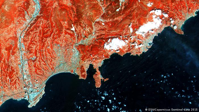
From the French Riviera
It may be among the strangest places on Earth, but this is where a lot of the European Union's Sentinel satellite equipment is being built for the Copernicus Earth Observation program. In Cannes, Thales Alenia Space is responsible for the Sentinel-1 satellites and a few of the others, too. The contractors include Airbus and many more. Sentinel-1B launches this week, making the first mission whole.


